|
||||
| GROUND PENETRATING RADAR GPR SURVEYS |
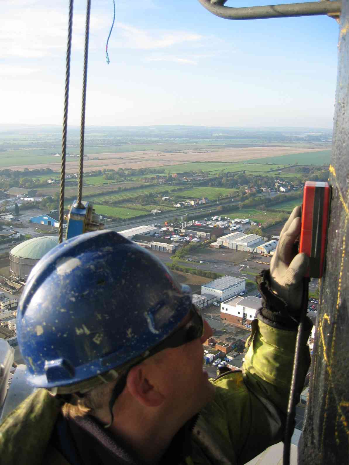
Ground Penetrating Radar GPR Surveys:-Ground Penetrating Radar, Ground Probing Radar, GPR, Impulse Radar and Surface Penetrating Radar are common names for the ground radar geophysical survey technique. It is a non-destructive geophysical survey method which can be used to obtain almost continuous subsurface geophysical data or obtain non-destructive testing, imaging and mapping data from a concrete or masonary structure including rebar mapping. Ground Penetrating Radar surveys often require only a single geophysicist and the system can be hand held, trolley mounted or towed by a vehicle. A ground penetrating radar (GPR) unit consists of a power supply, a radar data processing unit and a variety of antennae, depending upon the depth and resolution required. Bentham Geoconsulting have invested in the latest GSSI SIR 3000 ground penetrating radar system and Radan radar processing software from the USA. Our work has included imaging concrete thickness and reinforcement mapping in concrete floor slabs, locating tendon ducts in concrete bridge decks and slabs, locating underground tanks used as pollution interceptors, testing the condition of reinforced concrete chimney stacks at a UK petroleum refinery and locating wash-out under a quayside at a northern UK port.
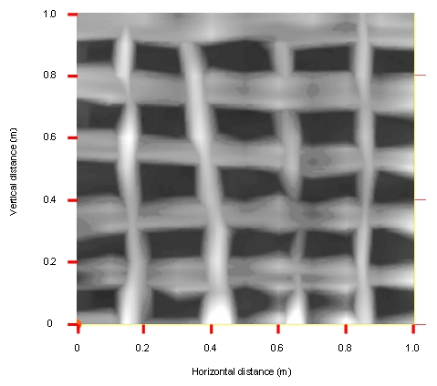
To a skilled geophysicist ground penetrating radar survey data can be interpreted in-terms of engineering or environmental information. After processing, the anomaly patterns are usually shown on an image map and can be used to plan intrusive investigations or simply as a means to avoid existing structural elements during refurbishment. The image below shows processed ground penetrating radar data obtained over a 1m x 1m test panel as a requirement for mapping the configuration of rebar reinforcement within a concrete chimney stack at a UK refinery.
Applications:- | |||